- United States
- Utah
- Discover the Waterpocket Fold: one of the most impressive landscapes on the planet

The Waterpocket Fold is one of the most amazing landscapes on the planet. The discovery of this little-known place, and in particular the Strike Valley, was a real hit during our stay in the American West. Few people talk about this little-known and yet so incredible landscape. The reason? Because it is located in the heart of Capitol Reef National Park, in Utah, a park that is not very popular because it is often not part of the tourist circuits.
Imagine a crustal crease over 160 kilometers long!
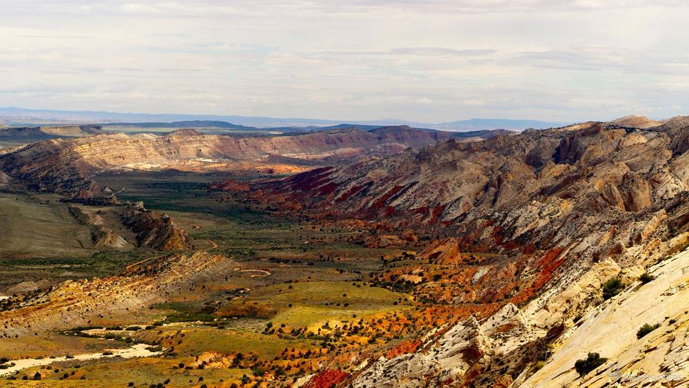
Impressive, isn't it? This phenomenon was caused by an uplift of the Earth's crust about 50 to 70 million years ago, which folded under tectonic pressure. Some sedimentary strata were found almost vertically, such as scales, over a section several hundred metres wide. As a result of erosion, some strata have been stripped bare, revealing their incredible colours. The movements of the terrain then accentuated the deformation of the ground, sculpting the fantastic decor that we discover today. A landscape that leaves speechless all the more so as it is relatively little mediatized.
The most impressive part of the Waterpocket Fold is at the Strike Valley, a portion that looks like a kind of terrestrial rift, where the earth seems to move away at the bottom of a graben. Again, this is a wrinkle that has been eroded.
Unlike most of the grandiose sites in the USA, quite a few photos of the Waterpocket Fold circulate. The surprise is even greater when you discover the site! During the preparation of our stay in 2014, we had stumbled upon a photo of this place. We absolutely had to go and find out!
Summary
1How to discover the Waterpocket Fold
The Waterpocket Fold being spread out over a large area, several points of interest allow to discover this exceptional site.
Strike Valley Overlook
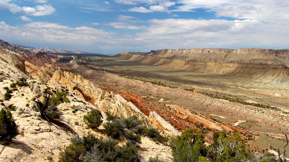
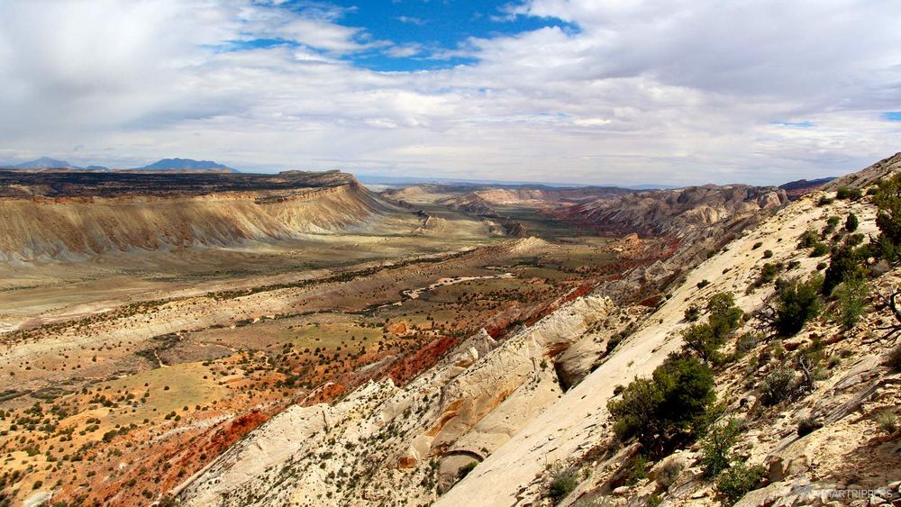
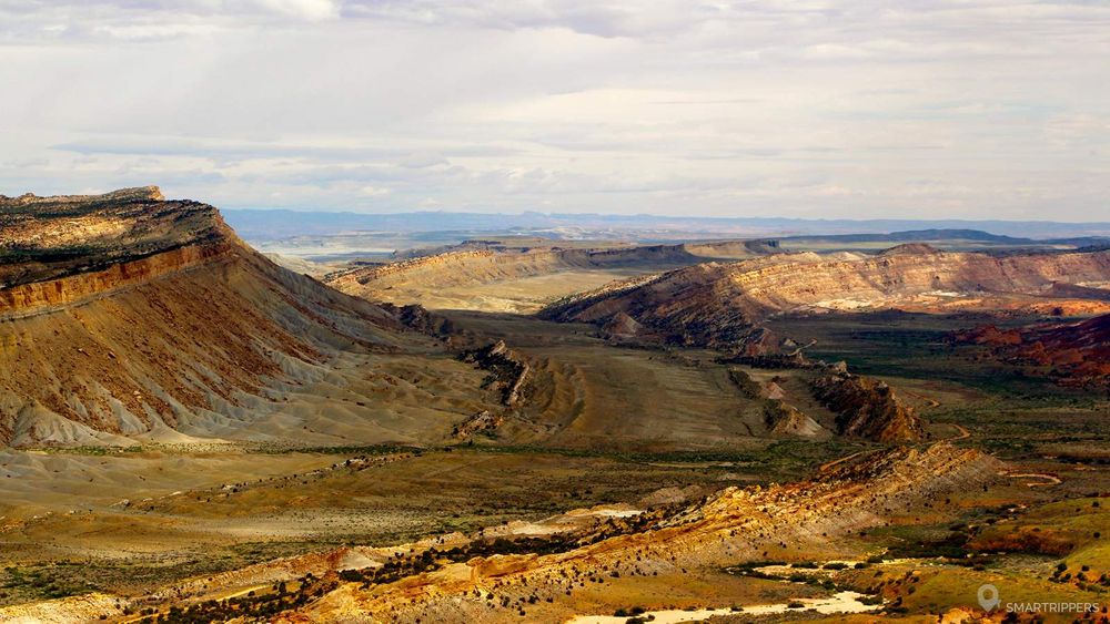
This is the most beautiful view of Strike Valley. We strongly recommend that you go to this incredible point of view which allows you to take in 180° the whole Strike Valley and also to realize the impressive size of the Waterpocket Fold, of which you can only see a small part! It's absolutely magnificent! However, access is not easy, which explains the low attendance. If you're a lone landscape enthusiast, go for it!
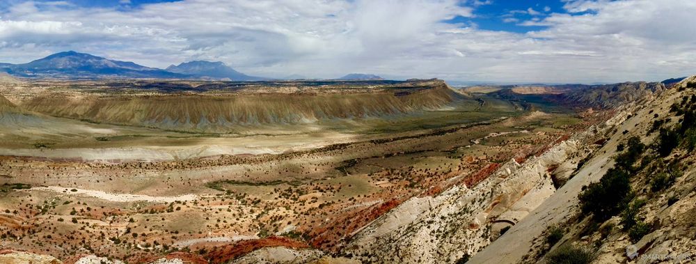
The viewpoint is accessible after a short walk (approximately 500 meters - 30 minutes round trip), from a car park located at the end of a 4.5 km 4x4 track. If we don't have a 4x4, the stroll can be transformed into a hike, because you will have to park at the beginning of the track and walk the remaining 3.8 km to the car park, i. e. a full return trip of 8.5 km (about 2 hours).
Access via the 4x4 track
If you arrive by the Burr Trail road from Boulder, look for a small track that goes north (to your left) about 1.5 km before going down the Burr Trail's wide bends. Careful, it doesn't look like it's marked. Then get on the track.
If you have a passenger car, take the track for the first 600 metres. You will then see a small parking lot where you can park. Then follow the 4x4 track which is relatively flat (without difficulty). Remember to take a lot of water with you because the place is arid.
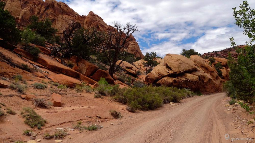
If you own a 4x4, take the track that is sometimes in poor condition, depending on the last floods. If it rained recently it is possible that there may be some nice mud ponds. But if the conditions are good, the track will be relatively simple. At the time of our passage, it was in good condition, with just 2 rocky sections to cross quietly but without difficulty. After 4.5 km you will find a small car park. The rest will be done on foot.
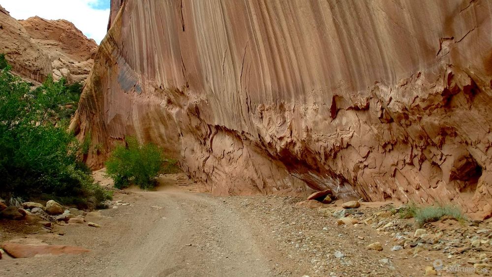
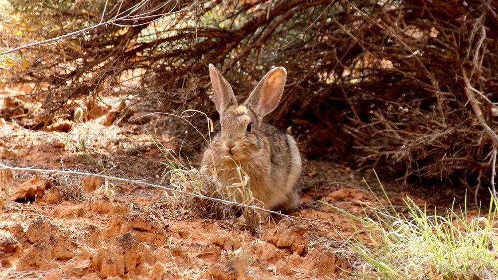
The trail winds through a beautiful yellow/orange rock setting where natural arches have been formed on the heights. Numerous cavities are also visible along the path. The place seems lost, it's a real haven of peace. If you are attentive, you will be able to meet small animals such as rabbits or prairie dogs. It is the ideal place to immerse yourself in nature.
The path to the viewpoint
Once you have arrived at the car park, turn off on the small path to the right. It seems to me it was appropriate. Walking is relatively simple, even if the last few meters climb a little more to get higher. The path then leads to a wide rocky platform that allows us to advance to its edge. Here we are standing on one of the folds of the Waterpocket Fold. And it is only then that one discovers the superb view. Wow! Whoo! To contemplate without limit!
The Burr Trail road switchbacks
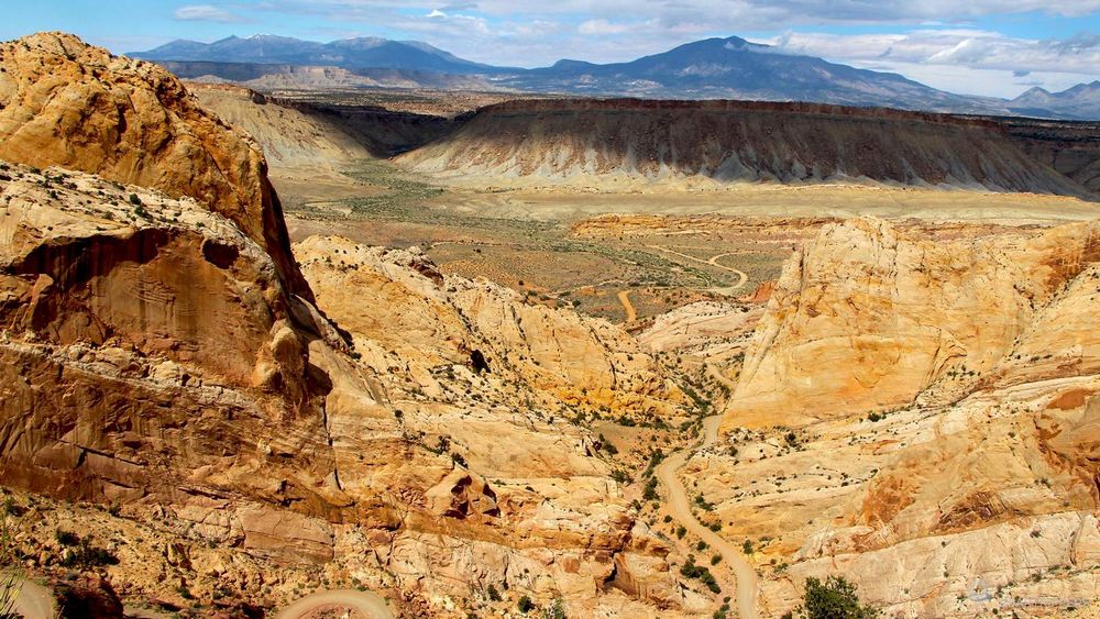
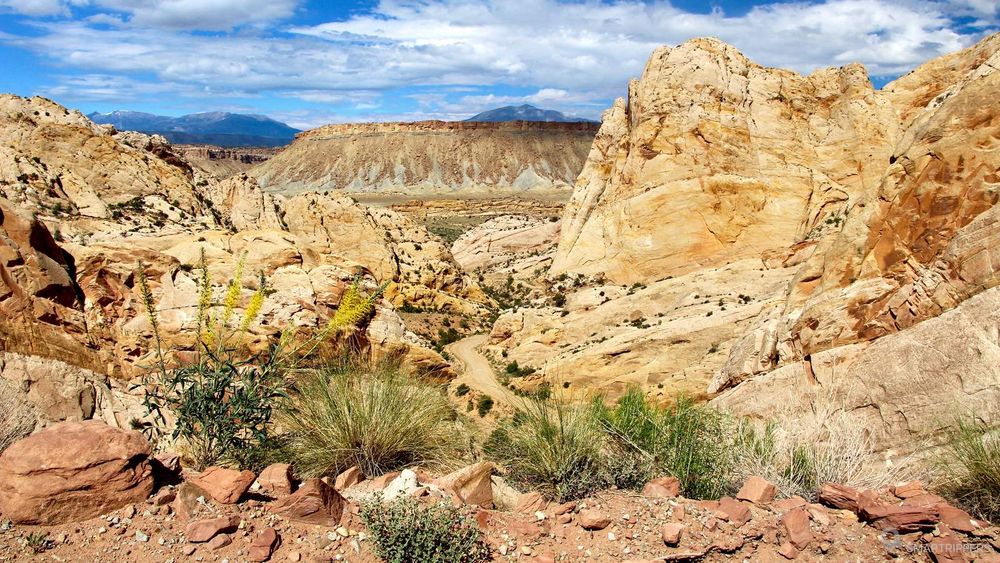
The famous Burr Trail road, known as the "switchbacks" are located about 5 km after the west entrance to the park. Here, the Burr Trail crosses the Waterpocket Fold and descends into the Strike Valley making 6 pin bends. This section is famous because it offers a nice view on the surroundings and the shoelaces. We recommend that you use the laces in the direction of the descent to enjoy the view.
The Notom Bullfrog Basin road
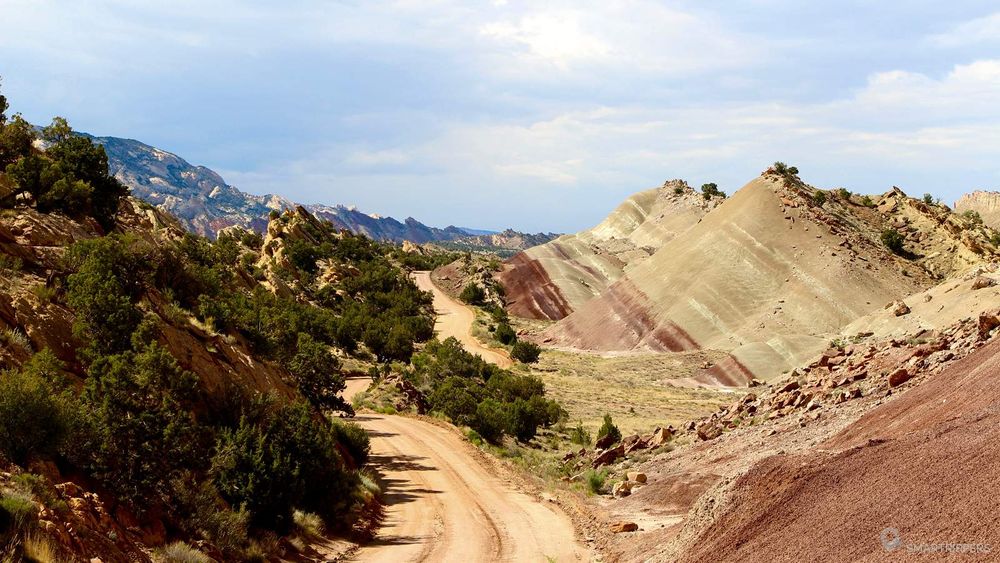
The Notom Bullfrog Basin road joins the route 24 north of Capitol Reef with the Burr Trail road, just after the famous lace. It is 52 km long and runs largely along the steep relief of the Strike Valley. This route is interesting because it allows you to discover the rocky uprising and the strata of colored rocks very closely. The road is paved for the first 10 kilometres, then it turns into a dirt road that can be driven by any type of vehicle. It takes about 2 hours to go from one end to the other.
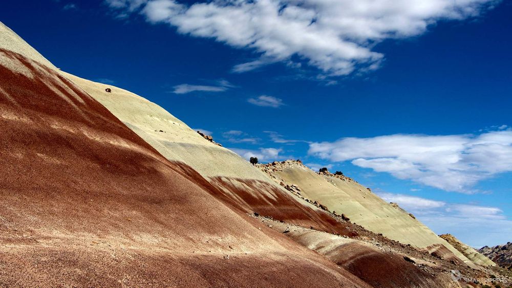
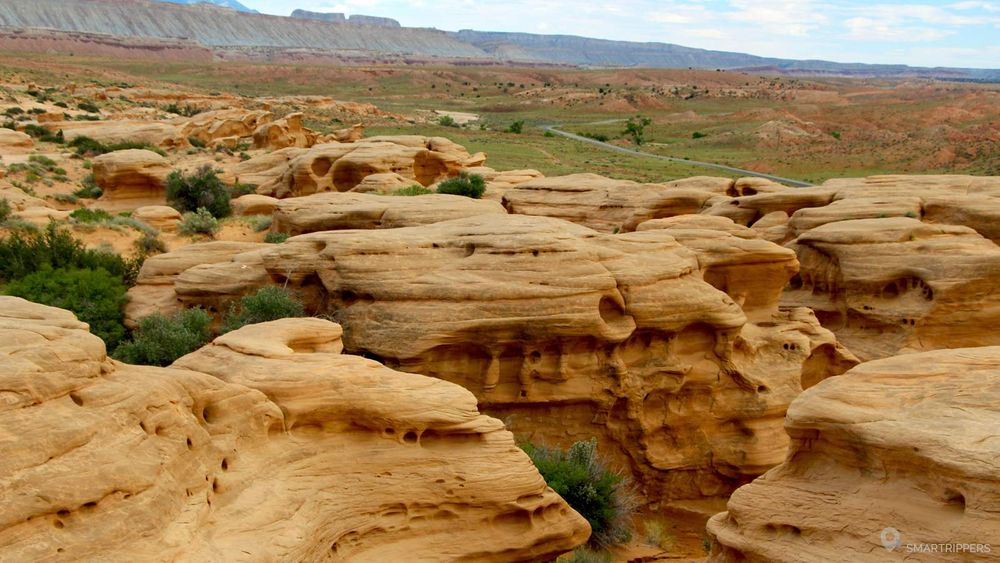
39 km after the bends of the Burr Trail road, or 13.5 km from route 24, do not hesitate to make a short stop at the strange formations you will see along the road. A small parking area is available for parking. Climb up to the mound and you will discover pale yellow rock formations polished by erosion. The place is ideal for climbing and having a nice view.
2How do I access the Waterpocket Fold?
The Waterpocket Fold is located south of Capitol Reef NP. Access to the park is free: 5$ per car for 7 days. The America the Beautiful is accepted.
Three accesses to the zone are possible:
- If you are coming from the east, we recommend arriving via the Burr Trail road from Boulder. This is the most impressive access as we discover the Waterpocket Fold from above. The Burr Trail road also crosses beautiful red canyons which makes the approach very pleasant. Approximately 1 hour to 1h30 (without stops) from the intersection of Highway 12 in Boulder. The road turns into a dirt road over the last few kilometres, but remains accessible as a passenger vehicle.
- If you are coming from the north, you can take the Notom Bullfrog Basin Road. The road is paved for the first 10 kilometres, then it turns into a dirt road that can also be driven by a passenger car. It takes about 2 hours to reach the Burr Trail road.
- If you are coming from the south, you can reach the Waterpocket Fold from route 276 via the Burr Trail road. The road is paved to the entrance of the park. Once in the park, the road turns into a dirt road that you can take with a passenger car.
If you have a choice, we recommend arriving by the Burr Trail road from the west, and returning by the Notom Bullfrog Basin Road in a northerly direction.
3Some links and information
You can consult the very well made map of Capitol Reef NP and the official parc website.
The area is famous for its numerous floods (water torrents that form very quickly after a rain shower and can sometimes carry everything along. Be careful and avoid venturing into risky areas in bad weather.
We are Sandrine and Flo, French thirty-somethings. In 2019 we quit everything to live our dream, become nomads and travel around the world. We left with our baby, Lena, who was only 5 months old at the time. After a first trip around the Pacific Ocean by plane and a long 3 months stay in Hawaii, we left to discover Iceland for 3 months on board our 4WD pickup truck and truck camper. Then we continued our adventure in North America.
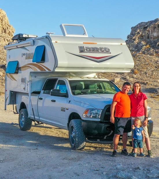
Today, if we can continue this adventure, it is above all thanks to our blog, Smartrippers! We created it one day in 2016, with the desire to share our good travel tips, without thinking that it would lead us there! We have developed it a lot over the years and have become experts on our 3 favorite destinations: Hawaii, Iceland and the American West. We now guide you to these destinations to help you plan the trip of your dreams!
Follow our adventures!