- Hawaii
- Big Island
- Visit the Hawaii Volcanoes National Park: our complete guide

The Hawaii Volcanoes National Park was created around the caldera of Kīlauea and allows to get as close as possible to lava flows and other phenomena related to volcanism (more or less recent). Emblem of Big Island, the Volcanoes National Park has become a must in Hawaii.
In this article, we propose to review all the information you will need to prepare your visit and make the most of the Volcanoes National Park of Hawaii, in particular by detailing all the points of interest and hikes that you will be able to discover in the different areas of the park.
Hawaii Volcanoes National Park History and News
Let's start with some information to better understand what awaits you there and especially why the situation is very unstable and may change at any time.
Understanding the Geology and Volcanism of Hawaii
I won't give you a lecture on volcanism in the Pacific zone, but let's spend a few seconds on the Hawaiian islands, which will give us a better understanding of the intense activity present in the archipelago and more specifically on Big Island.
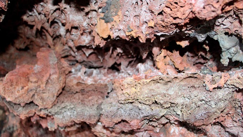
The Hawaiian Islands were born out of a single hot spot, the hot spot of Hawaii. As a result of the movement of the Pacific plate, the islands of the archipelago have emerged one after the other from the ocean in a south-east/north-west direction. A small tour on google map for a satellite view of the North Pacific, and the effect of the hot spot on the ocean floor is immediately obvious. You immediately notice the alignment of small islands from Big Island (the most south-eastern island of Hawaii) to the Kamchatka peninsula in Russia (a small wild and volcanic area).
This hot spot is still active and at work. It continues to extend the southeast of Big Island whose lava comes from Kilauea, draining out through various craters such as the active Pu'u 'O'o until 2017 where Fissure 8, a new mouth created following the events of 2018, which produced the lava that buried part of the Puna Peninsula between May and July. We'll talk to you a little more afterwards about the consequences of this last eruption.
A record-breaking area!
This hot spot is today directly under the largest volcanoes of the archipelago such as Haleakalā in Maui (the latter is only dormant), Mauna Kea and Mauna Loa and Kīlauea, the volcano that interests us here since the park is mainly located around its huge caldera.
Thanks to this hot spot, Kīlauea is one of the most active volcanoes of our good old earth! Its eruptions are known to be spectacular! But rather than a long speech, I invite you to have a look at the Kilauea Wikipedia page, section "eruptive history" to get an idea of the forces present in the region, such as the phenomena observed during the eruption of Kīlauea Iki in 1959 which generated a lava fountain 580m high, not to mention its huge lava lake now cooled and that it is now possible to cross on foot.
Can you still see liquid lava in Hawaii?
Until 2018, it was possible to see liquid lava and get up close and personal with it in or near the Hawaii Volcanoes National Park, a unique experience that we experienced when we first came here in 2017, but which unfortunately is no longer possible since the last eruption in 2018, which took place mainly in the Lower East Rift Zone, in the Leilani Estates neighborhood, a short distance from the park.
Updated on 21/12/2020: Lava is back at the top of Kilauea! After 2 years of absence, volcanic activity is back in the Halemaumau Crater. More information to come about the possibility to observe this great show on site!


Closures currently in effect in the park
During the eruption of 2018, the area at the top of the park (at the level of the caldera at Kīlauea) was shaken by tens of thousands of earthquakes, but also suffered huge plumes of ash and 62 massive explosions of collapse!
These events caused unprecedented damage to infrastructure, the first in the park's 102-year history, including damage to buildings, landslides, rock falls, deep cracks in roads and trails, and numerous breaks in water and sewer lines, resulting in the closure of the park for several weeks.
Since then, the park has been reopened, but there are still some closed areas that have either suffered extensive damage or have not yet been secured. Here is the list of infrastructures, roads and hiking trails that are still closed at the time of writing. All the others are now open.
- The Jaggar Museum (indefinitely)
- Crater Rim Drive between Kīlauea Military Camp and the Jaggar Museum
- The Hilina Pali Road after Kulanaokuaiki is closed to vehicles (but open to pedestrians and bicycles).
- The Crater Rim Trail after the Kīlauea Military Camp
- The Iliahi Trail
- The Crater Rim Trail from the Volcano House to Kīlauea Iki
- The Hōlei Sea Arch overlook
Other temporary closures
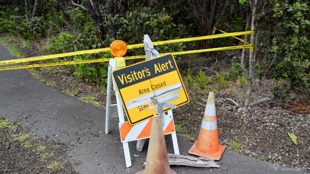
As the park is located in a very active area, it is highly likely that some areas will be closed in addition to the closures following the damage in 2018, due to the risk of toxic fumes or collapse. In this case you will be stopped by yellow police tape (do not cross). For more information, we advise you to go to the Visitor Center or to consult the alerts on the official website of the park: Hawaii Volcanoes National Park

Summary
1The 3 zones of the park
To finish this preamble, it is important to know that the Volcanoes National Park of Hawaii is composed of 3 distinct sectors that can be discovered by being motorized because of its vast surface area. They are the following sectors:
- The main part of the park, from Highway 11 at the caldera level of Kīlauea to the ocean via the Chain of Craters road.
- The Mauna Loa sector, which rises on the slopes of the volcano and whose entrance is located approximately at the access to the main sector.
- The Kahuku sector, located in the very south of the island, at South Point.
We will detail in this section all the points of interest and hikes that we have tested in each of the 3 sectors. For the others, we advise you to refer directly to the brochure that will be given to you at the entrance of the park (but you will already have plenty to do with what we are going to show you).
Feel free to use the map at the end of the article to identify and locate points of interest and hikes whose trails are also shown on this map.
2Points of interest and hikes around the caldera of Kīlauea
So let's start by taking you around the caldera of Kīlauea where most of the active volcanic phenomena are concentrated. The area is accessible thanks to the Crater Rim Drive that used to go around the caldera. In 2018, the collapse of part of the Kīlauea caldera took away a piece of the road (already closed for several years). Today only the eastern part of the Crater Rim Drive remains open.
Steam Vents
Steam Vents is now the only viewpoint on the Kilauea caldera that is accessible to the public, the others are still closed for the moment.
From the car park, a short, wide path leads to the edge of the huge Kilauea Caldera, which has been greatly enlarged for the 2018 events. We can only observe the stigmata of the successive collapses that widened the crater and above all made the lake of liquid lava disappear.
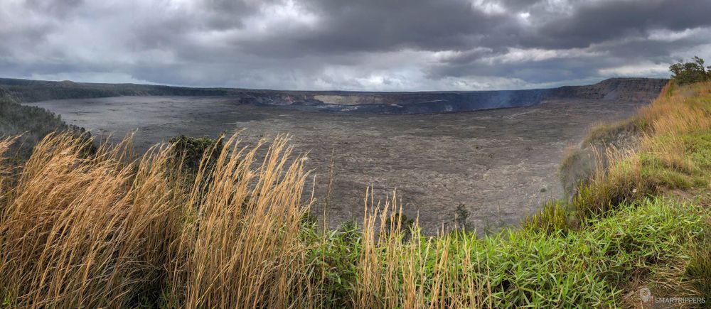
Indeed, the point of view is not really sensational because it is finally quite far (especially if you discover the park for the first time), but precautions are required because the area is still largely unstable.
If you have good eyes, or a good zoom, you will be able to see that there is now some water in the crater floor. A lake has formed there in the last few months and is the result of the rising water table filling the space left by the magma.
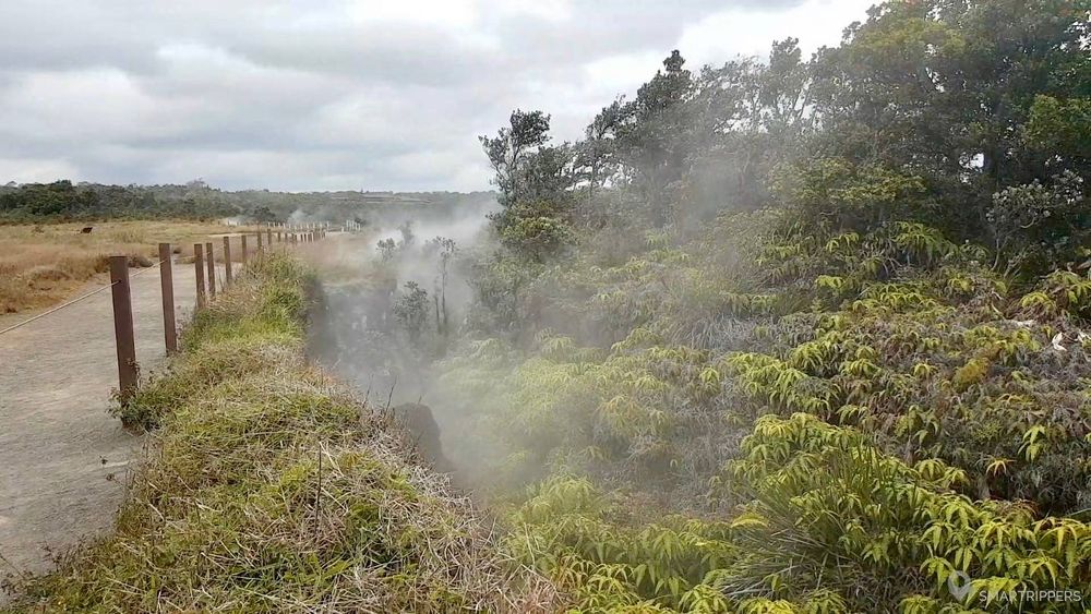
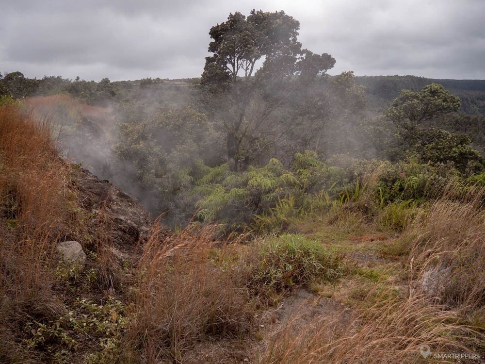
After taking a look at the viewpoint, take the time to walk along the edges of the caldera on the Crater Rim trail from where you can see a few fumaroles coming out of the bowels of the earth, which will remind you that volcanic activity is indeed present!
Sulphur Banks Trail
2.2km round trip - 30 minutes - Easy

As long as you are in the area, if the smell of the fumes does not bother you, do not forget (like us!) to try the Sulphur Banks trail which will make you discover an active area of the park, secured thanks to these wooden footbridges.
Start can be from the parking lot of the Visitor Center or Steam Vents.
You may choose to walk the Crater Rim Trail on the way back to make a short loop rather than a round trip.
Crater Rim Trail
Round trip of 2km - 30 minutes - Easy (open to Military camp)
The Crater Rim Trail is a trail that follows the Kilauea Caldera offering interesting views. Nevertheless, the trail is now closed after the Military camp, which limits its interest even if it can be interesting to take it on a small portion of round trip to enjoy the views and small fumaroles.
The trail is to be started from the parking of Steam Vents.
Kilauea Iki Trail
6,4km loop - 2h00 - Easy
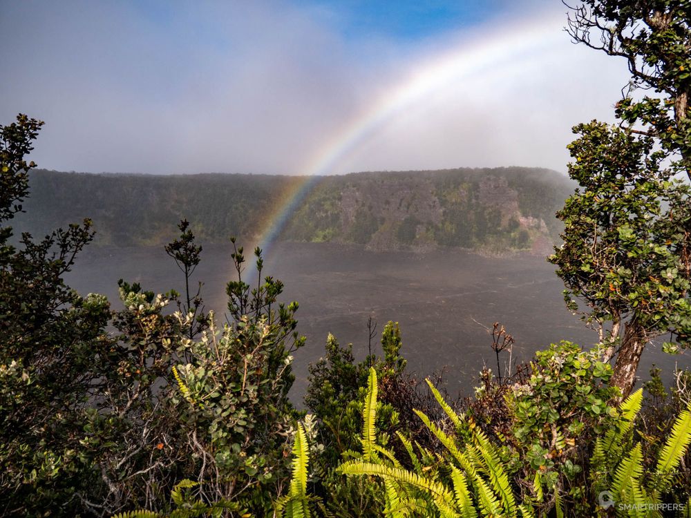
The flagship hike of Hawaii's Volcanoes National Park, the Kilauea Iki Trail is a trail that takes you into the heart of the ancient lava lake formed by Kilauea Iki in 1959.
The Kilauea Iki Trail is an easy 6.4 km loop that starts at the Kilauea Overlook parking lot. The trail descends into the crater after skirting the rim, and crosses it from side to side to go up into the forest to the north.
All the details and the itinerary of this hike can be read in our dedicated article: Kilauea Iki Trail: Kilauea Iki Trail: hiking on the lava lake of Kilauea Iki
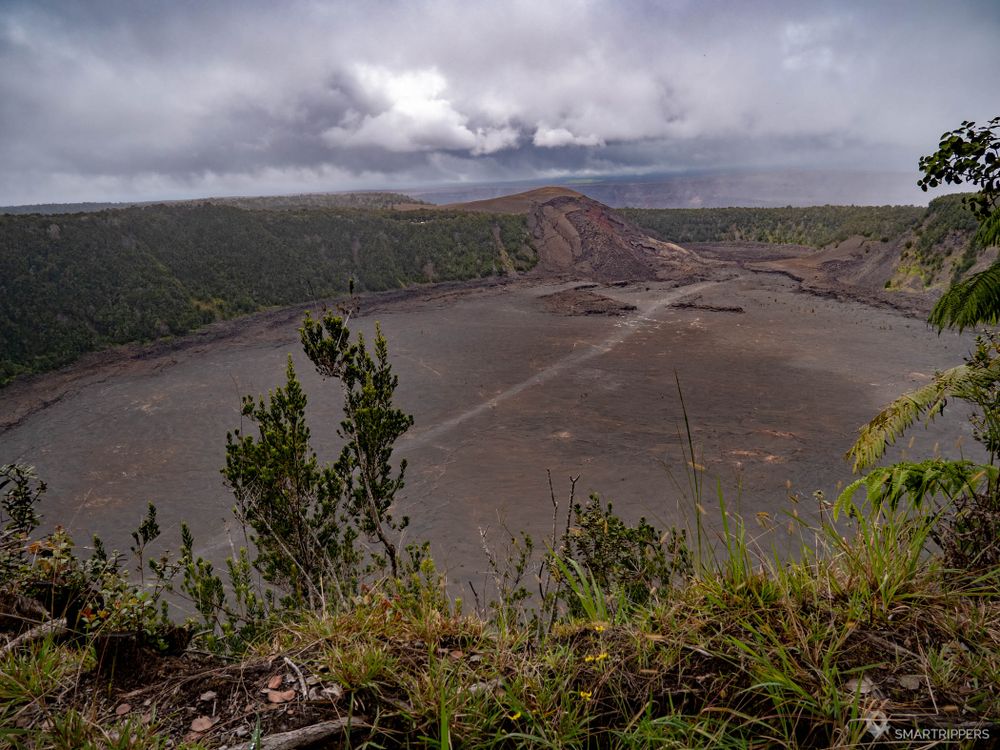
If you don't want to hike, make a stop at the car park which offers a view of the old lava lake.
Nāhuku (formely Thurston Lava Tube)
This small 500m loop will take you to a place you will rarely have the chance to visit. A 150m long former Kilauea lava tunnel, open 24 hours a day and lit from 8am to 8pm, one more facet of Hawaii's volcanic activity open to visitors.
In the tunnel formed 350 to 500 years ago, the level of the lava that once flowed through the tunnel is clearly visible. In fact, its slope was only 2%. Also look at the ceiling and you will see roots! But before reaching the tunnel, you will have to go through a tropical rainforest. The path is paved.

New guidelines have been in place since the tunnel reopened in February 2020: it is forbidden to touch the walls and roots that come down from the ceiling of the tunnel in order to preserve the fragile ecosystem that has now returned due to the absence of visitors since the closure in May 2018.
Those who have already visited the tunnel before the 2018 events will certainly see the differences with the current configuration. Two cracks are now present but are not considered dangerous for the time being: sensors have been installed to monitor them.
Also noteworthy is the presence of a rock that has collapsed from the vault and has been marked out so that visitors can avoid bumping into it.
Now the parking system has been revised because of the fragility of the soil and is now limited in number and time to 30 minutes, another reason to avoid going there during busy periods.
As the place is very busy, we recommend that you go and discover the tunnel at the very beginning or at the end of the day. If, like us, you decide to venture there at night, don't forget your headlamp (or the lamp on your smartphone) to light the way to the tunnel entrance.
For the more adventurous, it was possible to exceptionally ask to open the other part of the cave not open to the public to explore in a slightly more intimate way this mysterious place where the traces of the last flows that took place here are still visible. Not being sure about the possibility of doing this part since the reopening, you will have to go to the Visitor Center for more information.
Pu'u Pua'i Overlook
This viewpoint offers another side view of the ancient lava lake of Kilauea Iki. It is also possible to start the Devastation Trail from the parking lot.
Devastation Trail
Round trip of 1.6 km - 20 minutes - Easy
This short 1.6km round trip takes us to see the cinder cones that were formed following the eruption of Kilauea Iki in 1959.
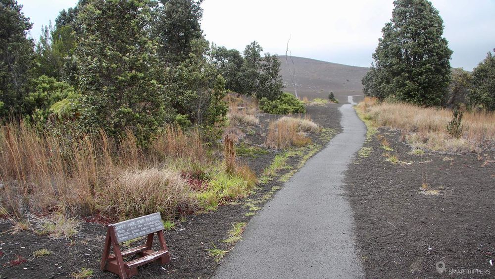
The trail is very simple and is fast. Finally, the small ash cone is not so incredible and you could even pass by it without even being warned of its existence.
Note that the Devastation Trail also allows you to join the Pu'u Pua'i Overlook.
3Points of interest and hikes along the Chain of Craters road
The road then descends to the ocean via the Chain of Craters road. Along the Chain of Craters Road you'll discover a myriad of ancient craters and lava fields of varying ages. Signs indicate the locations and there are several small car parks where you can park, so don't hesitate to stop in.
Here are the points of interest and hikes you will find along this road.
Nāpau Trail
Round trip maximum of 22,4 km (but possibility to stop whenever you want) - Easy
The Nāpau trail is a long hiking trail that serves several points of interest, starting with the small wooded crater of the Pu'u Huluhulu, then the Mauna Ulu that we pass around, the Makaopuhi Crater that we follow and finally the Nāpau Crater, the last stage of this long trail that approaches us to the base of the Pu'u Ō'ō.
Its interest lies in the course of different lava fields and to approach some "young" craters, some of which still smoke lightly like the Mauna Ulu. It is not necessary to cover the whole trail which is rather monotonous in the long run, but a small glimpse to the Alae Crater in about 2h30 round trip, already gives a good impression.
All the details and the itinerary of this hike are to be read in our dedicated article: Nāpau Trail: hiking along the old craters of the Volcanoes National Park
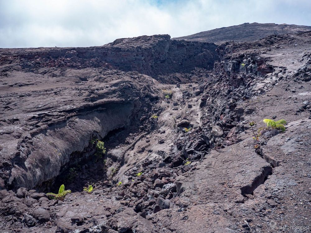
Kealakomo Overlook
The Kealakomo Overlook is a scenic lookout located about halfway down the Chain of Craters Road. It provides a beautiful view of the many successive coulees that clustered on the slopes of Kilauea from the Mauna Ulu and Makaopuhi Crater between 1969 and 1974.
Picnic tables are available at the end of the small wooden lookout.
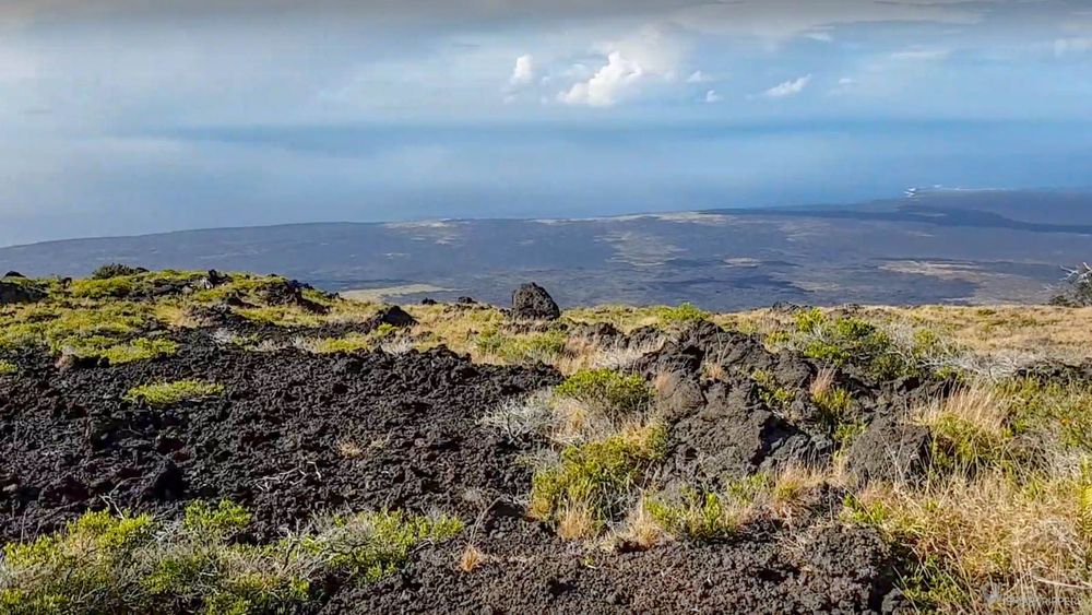
Don't forget also to stop at some of the other viewpoints before and after the Kealakomo Overlook. They are not named on the map of the park, but some are really interesting, like the stop just before which allows you to discover a beautiful fault with some explanations on the spot.
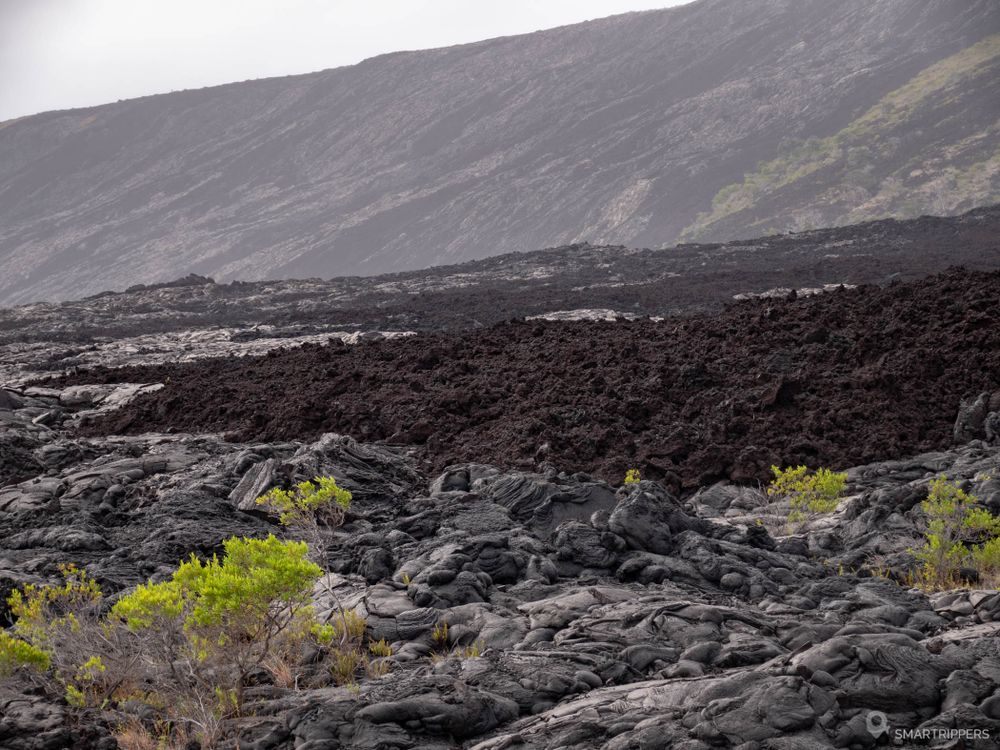
Pu'u Loa Petroglyphs trail
Round trip of 2.4 km - 45 minutes - Easy
Just before arriving at the coast, you can stop to observe ancient petroglyphs engraved by the first civilizations. This area of the Volcanoes National Park is believed to have the highest concentration of petroglyphs in Hawaii, with nearly 23,000 recorded petroglyphs!
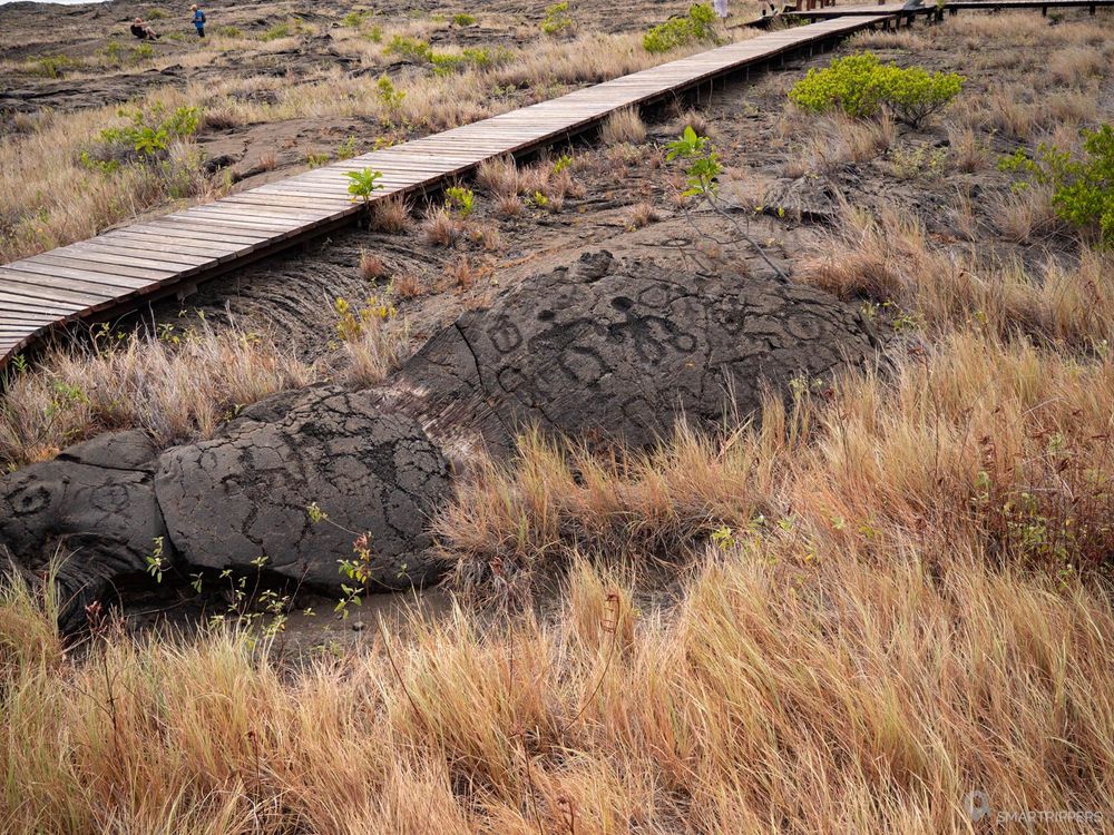
To discover some of them, an easy 2.4 km round trip allows you to reach a rather interesting observation point.
To get there, you have to leave your car at the small parking lot along the road and then follow the path marked by cairns. No difficulty to report except that you are walking on an old lava flow. The path is flat and rather monotonous. Small explanatory signs are placed at several points along the trail and allow you to learn a little more about the life and traditions of the early Hawaiians.
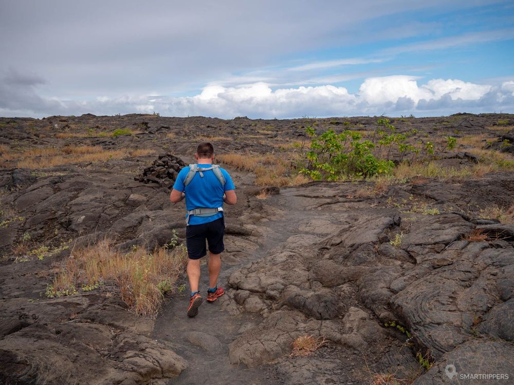
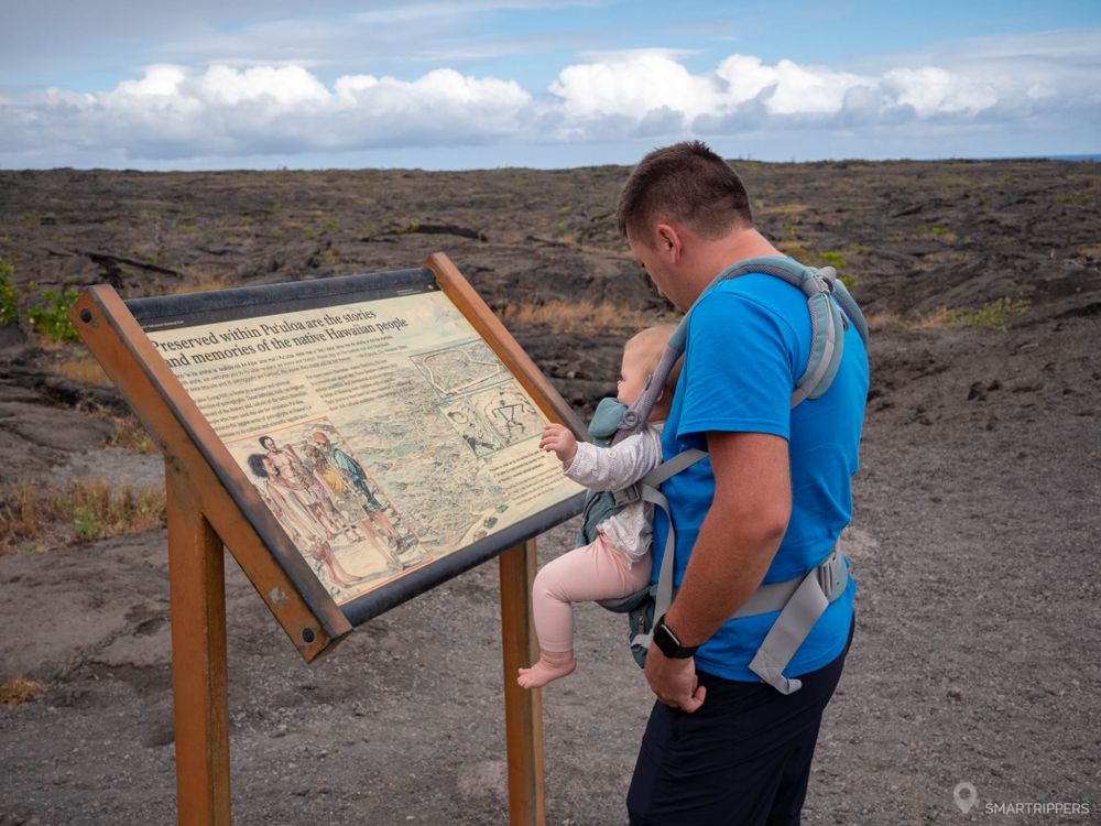
After about 20 to 25 minutes of walking we reach the end of the trail where the petroglyphs are very visible. A wooden footbridge has been built to make a loop around the observation site.
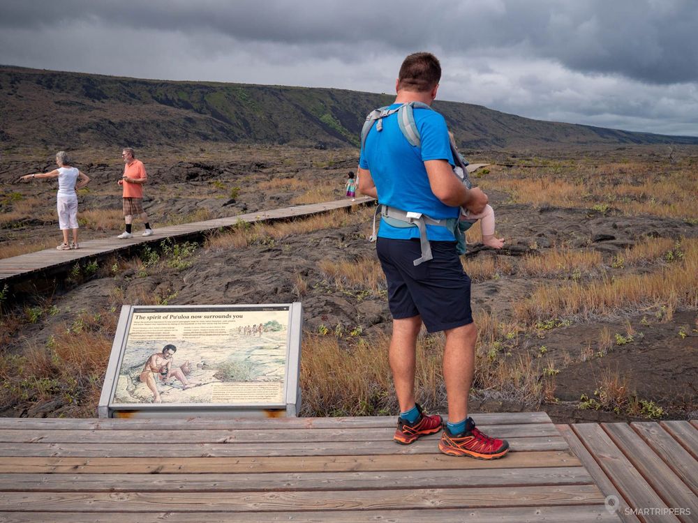
Look around before you get to the pontoons. There are many other petroglyphs scattered all over, including along the trail. If you come with children it might be fun to have them look for the petroglyphs.
Hōlei Sea Arch
Hōlei Sea Arch overlook is temporarily closed as cracks have been observed near the area.
At the very end of the Chain of Craters Road is a small natural arch visible from the side of the road: Hōlei Sea Arch. This arch of volcanic origin was formed by the erosion of the ocean.
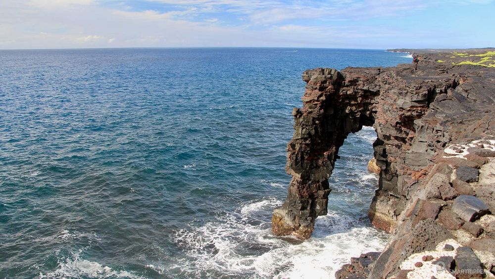
In the past it was possible to reach the entry point of the lava into the ocean through a walk on the 2003 lava flow accessible from the parking lot at the end of the road. But since the liquid lava is no longer visible in the park, there is no longer any interest in this walk.
If you wish to get as close as possible to the last coulee of 2018, it is possible to do so at Isaac Hale Beach Park in Pohoiki Bay.
This last arch concludes all the points of interest and hikes we have done in the main area. We will now continue with the other two secondary areas.
4A hike to make in the area of Mauna Loa
Now let's head towards the Mauna Loa area, which is accessible via the Mauna Loa Road that climbs up to the foothills of Mauna Loa and is accessed just before the entrance to the main area of the Volcanoes National Park from the west.
Kīpukapuaulu trail
1.9 km loop - 30 min - Easy
Here is a cute little walk in the woods in the heart of a preserved and protected ecosystem. Boards are present to indicate the plants and their origins. The walk is ideal because it's cool when the weather is hot and it's a bit different from lava flows!
You can download the small guide explaining the walk on the official website of the Volcanoes National Park: Kīpukapuaulu trail guide Kīpukapuaulu trail guide. It contains a lot of interesting information.
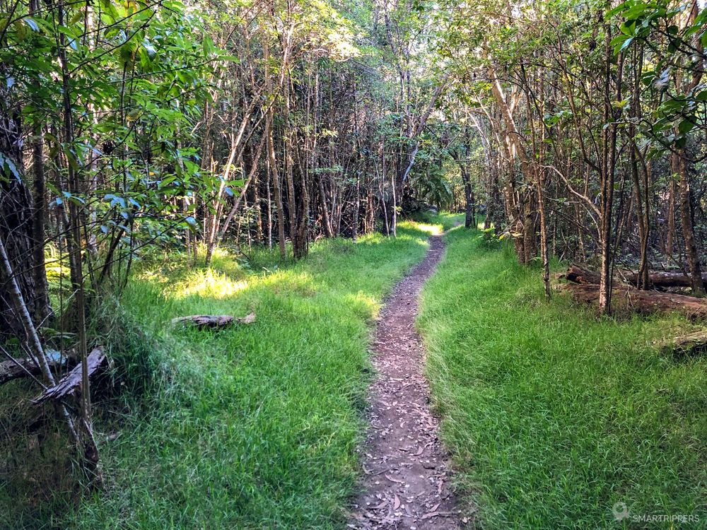
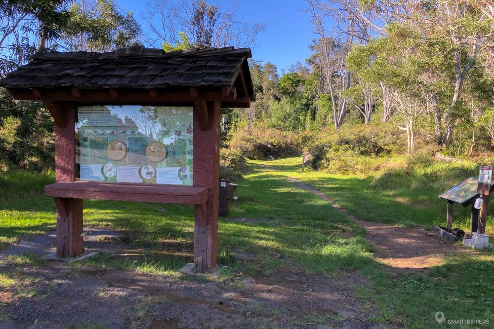

Several picnic tables and restrooms are accessible at the end of the road going east, just before arriving at Kīpukapuaulu trail.
From the Kīpukapuaulu trail, the road continues uphill until you reach the Mauna Loa Lookout. But unfortunately, this part of the road was closed to the public when we arrived in September 2019. So we could not go and explore it.
5Hiking in the Kahuku area
Now let's go to the third and last part of Hawaii's Volcanoes National Park, to the Kahuku area whose entrance is located south of Big Island, just before South Point Road if you come from the west.
This area is very different from the zone around Kilauea. Here the vegetation is rather dense and the hills are lightly wooded. These are in fact old lava flows from the 1870s that are being reforested and gradually greened.
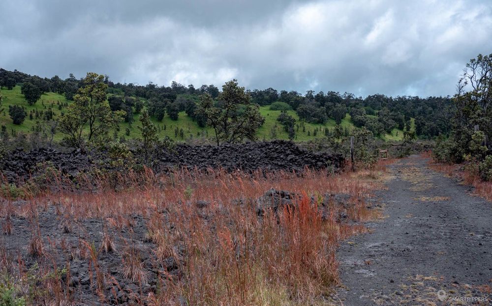
Note that the park is closed on Tuesdays and Wednesdays. The rest of the week it is only open from 9am to 4pm.
The road climbs gently up to serve the different trails of the park and ends at a dead end (the last meters end on a gravel track). A few trails allow you to explore the area.
Palm trail
Loop of 4,2 km - 1h00 - Easy
We tried the Palm trail where there are absolutely no palm trees and which remains quite monotonous (at least compared to the rest of the island). Not much to remember from this hike which in our eyes is not worth the detour unless you stay more than 3 weeks on the island...

Pu'u o Lokuana trail
Loop of 800 m - 15 minutes - Easy
We preferred the Pu'u o Lokuana trail located at the beginning of the park road which allows us to see a nice crater with glowing red rocks in a quick loop of about 15 minutes and which also offers a nice view of the surroundings from the rim of the crater.

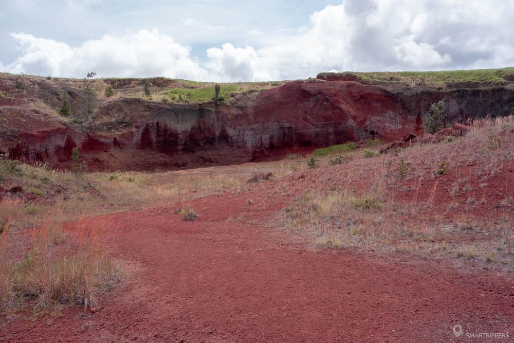
A small visitor center is located at the entrance of the Kahuku area, near which we find the only sanitary facilities in the park according to the map (however we have seen chemical toilets at Lower Palm Tree).
That concludes all the points of interest and hikes we discovered at Hawaii Volcanoes National Park.
6Practical information to prepare your visit
Here are a few tips to help you prepare and enjoy your visit to the Volcanoes National Park.
How much time do I have to spend at Volcanoes National Park?
Since the liquid lava is no longer visible in the park, a big day will be enough to discover the main area of the park, go down to Sōlei Arch and do some quick hikes. But don't forget that the Chain of Craters Road still descends for 30 km to the ocean through many viewpoints. So be sure to allow plenty of time to cover it in both directions (60 km round trip).
If you wish to linger a little and discover the park more deeply, do not hesitate to devote 2 days to it, or 3 days if you wish to make several long hikes.
Given the size of the park and the difference in altitude (more than 1000 metres between sea level and the park entrance), we recommend that you come here ideally by car/motorbike, or by bike if you are sporty. Please note that there is no shuttle bus in the park, so a walking tour will confine you to the few points of interest located near the caldera.
On your first visit to the Volcanoes National Park, we advise you to stop at the Visitor Center which is located near the entrance. There you will find interesting information about the geology of the park, some short films to better understand the forces at work here, and glean daily information such as weather, volcanic activity and accessible areas of the park.
Safety instructions
Some areas of the park remain unstable following the hundreds of earthquakes of 2018. It is important to respect the security instructions given by the park:
- Stay on the open paths and roads. Closed trails and roads are considered dangerous.
- Stay away from cracks and sagging. In the past, careless people have killed themselves by falling through cracks. They have unstable edges, so stay away from them.
- Rockfalls are unpredictable. Be careful not to approach steep areas.
- Wear sturdy shoes and long pants. Falling on lava rocks is like falling on pieces of glass.
- Do not hike at night. Even if you are familiar with certain areas of the park, you may be surprised by the evolution of the basements.
Hawaii Volcanoes National Park fees
The entrance fee is $30 per car, $25 for motorcycles and $15 for pedestrians or if you come by bike. This ticket will allow you to visit the park for 1 week.
If you plan to discover the island of Maui during your trip, it will be interesting to buy the Hawai 'i Tri-Park Annual Pass at $55. This pass is valid for 12 months and allows you to access by car to the Volcanoes National Park but also to Pu 'uhonua 'O Hōnaunau National Historical Park (near Kona on Big Island) as well as to Haleakalā National Park located in Maui. This pass allows you to save 25$ if you want to discover the 3 parks. Don't forget to ask for it when you first pass the ticket office at the entrance of the park.
If you already have the America the beautiful pass, it also works at the Hawaii Volcanoes National Park.
As the main part of the park is accessible 24 hours a day, it is possible that the ticket offices may be closed during your visit if you come to access it outside the opening hours of the ticket offices. But don't worry! If the counters are closed, you can use the payment terminal located to the right of the Visitor Center, under the sheltered area. You will have to top up the cash in the envelope.
Where to sleep near the Volcanoes National Park?
You will find some accommodations near the park at Volcano Village, but the interest is less since the liquid lava is no longer visible in the park (previously it was interesting to come there at night).
Instead, we recommend you stay in Hilo, which is a 45-minute drive from the park and is a good place to stay to spread out over the entire southern and eastern sector of the island, including the summit of Mauna Kea. Hilo is also the least expensive city on Big Island.
Camping at the Volcanoes National Park
If you wish to camp in the park, there are several campgrounds with varying degrees of amenities. We went to the one in Kulanaokuaiki which offered some very quiet campsites in the middle of an old lava field. On the spot there were only dry toilets, but very clean.
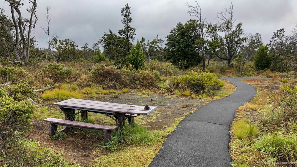
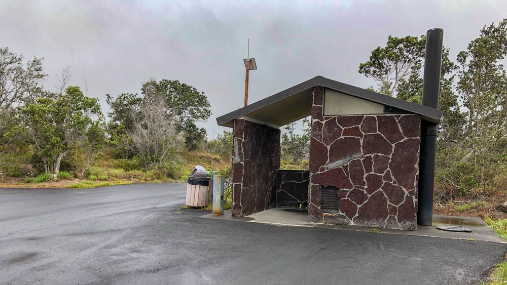
For more information about camping in the park, the different pitches and rates, we advise you to consult the "Camp" section of the Hawaii Volcanoes National Park.
We are Sandrine and Flo, French thirty-somethings. In 2019 we quit everything to live our dream, become nomads and travel around the world. We left with our baby, Lena, who was only 5 months old at the time. After a first trip around the Pacific Ocean by plane and a long 3 months stay in Hawaii, we left to discover Iceland for 3 months on board our 4WD pickup truck and truck camper. Then we continued our adventure in North America.
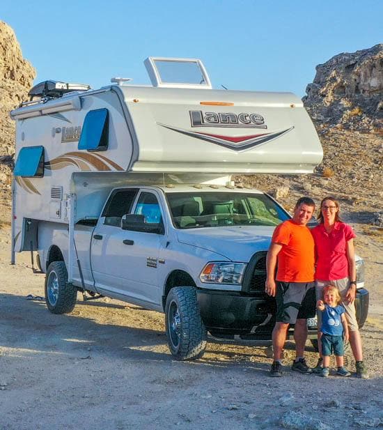
Today, if we can continue this adventure, it is above all thanks to our blog, Smartrippers! We created it one day in 2016, with the desire to share our good travel tips, without thinking that it would lead us there! We have developed it a lot over the years and have become experts on our 3 favorite destinations: Hawaii, Iceland and the American West. We now guide you to these destinations to help you plan the trip of your dreams!
Follow our adventures!