
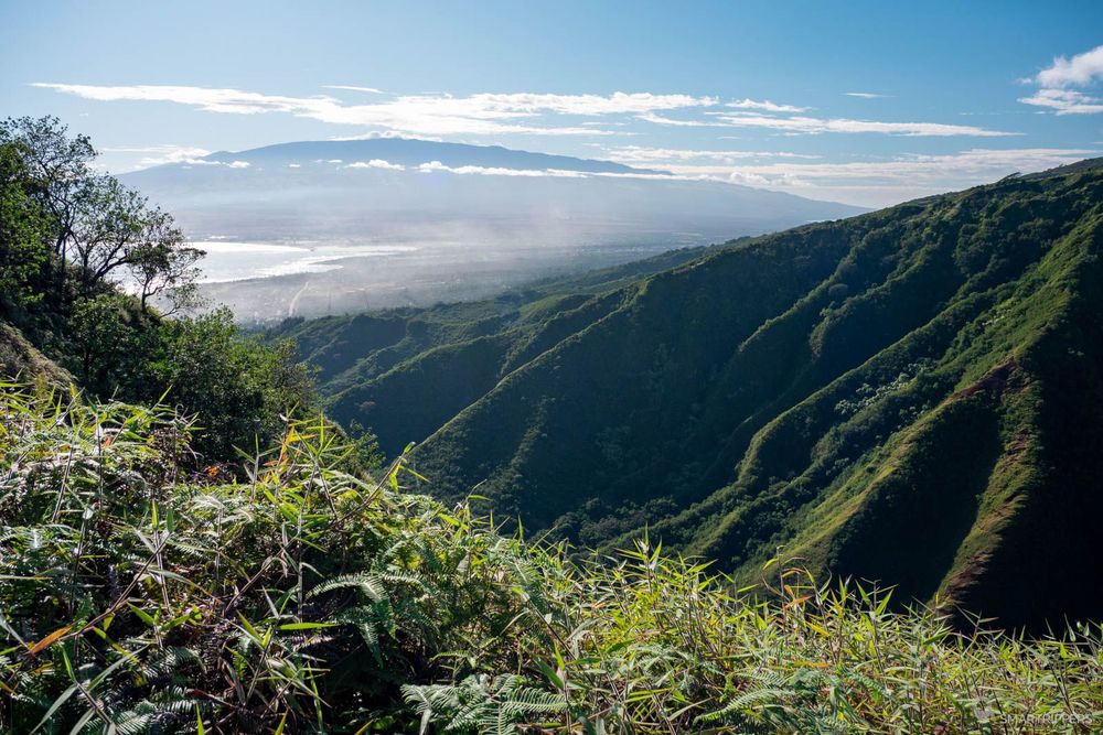
The Waihe'e Ridge trail is a hike that leads to a viewpoint on the heights of one of Maui's northwestern ridges. This climb will offer beautiful views of Kahului, its surroundings and the West Island Ridges. It is probably the most popular hike in the area. And it was on a beautiful sunny October morning that we climbed it with our baby.
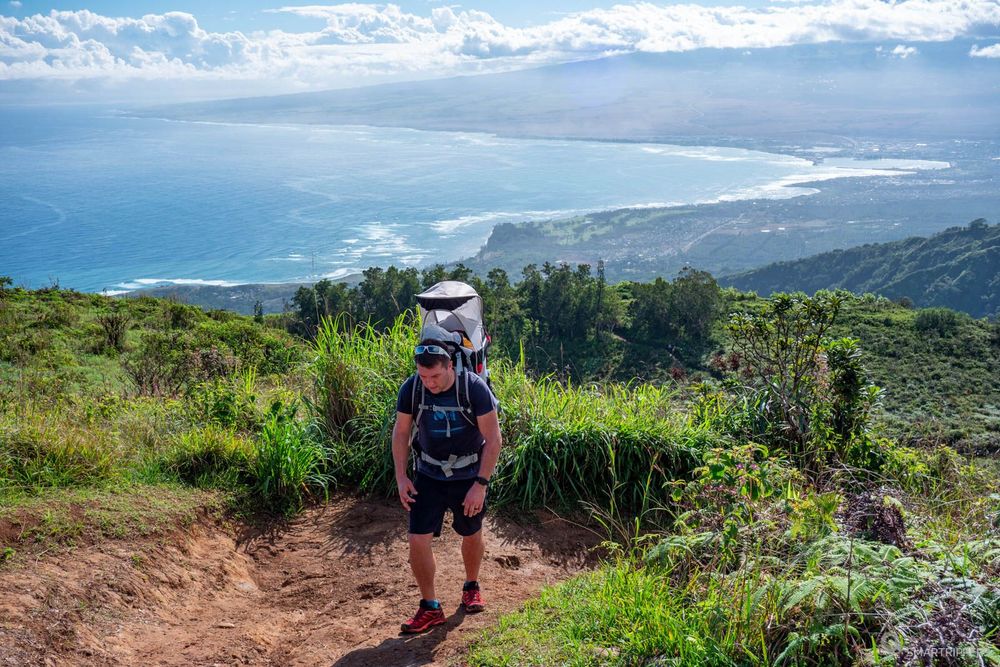
The trail climbs all the way up, with almost 470 meters/1550 feet of difference in altitude for 3.5 km/2.2 miles on the upward journey. But the pleasant side of this hike, thanks to the beautiful views all along, fortunately makes us forget its somewhat grueling side, whose effect is multiplied tenfold with the sun and the heat.
Summary
1The Waihe'e Ridge Trail step by step
The hike starts from the small parking lot located on the heights of Highway 340. See How to get to the Waihe'e Ridge Trail. From this parking lot you will have to pass the small chicane to access the beginning of the trail which starts with a concrete ramp.
The first few meters are already exhausting. It climbs rather steeply! These few minutes on the concrete will probably be the most tiring of this hike. Above all, climb them quietly at the risk of being dried out for the rest of the hike.
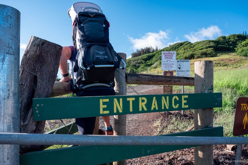
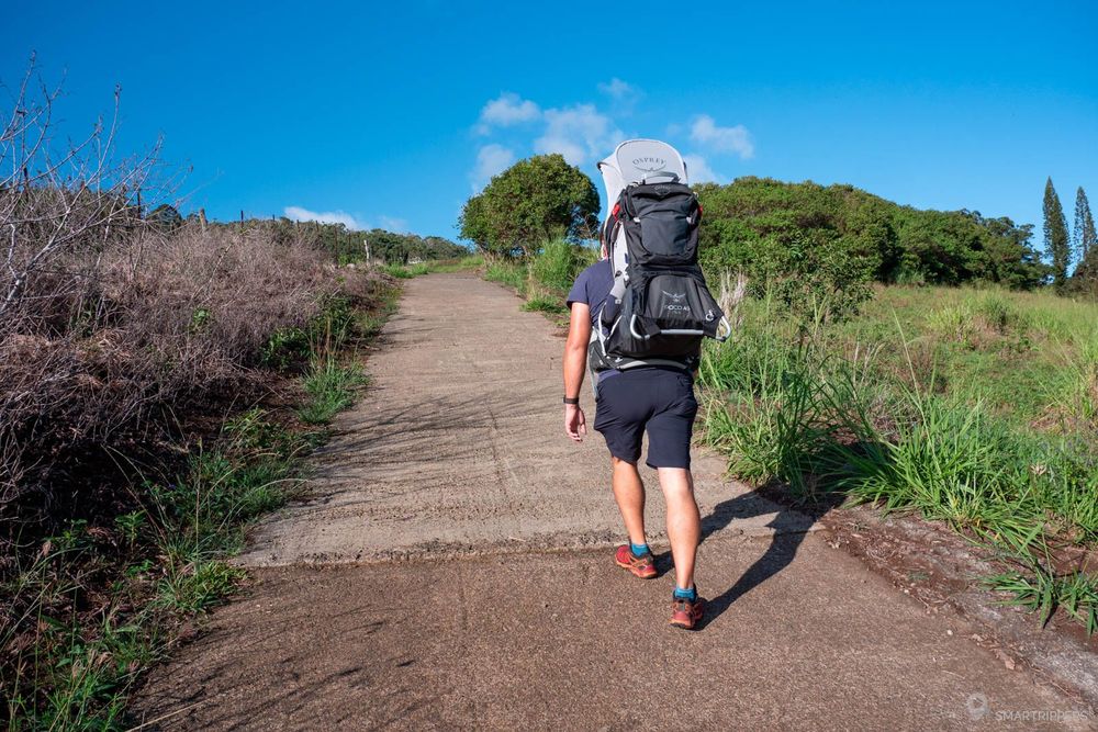
Once at the top of this steep climb, we are greeted by a beautiful forest that comes just in time to refresh us after this first effort!
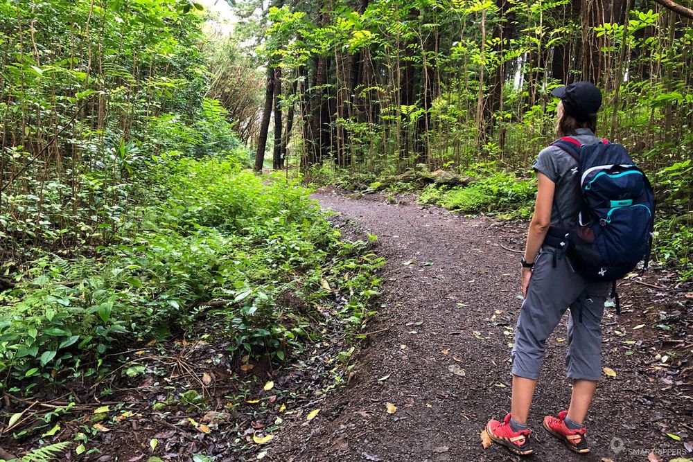
The path through the forest is quiet and pleasant, the ascent is now much gentler. At the end of the trail we reach the roof of the ridge which we will not leave until the end of the trail. The view is superb and will not cease to accompany us until the end of the ascent.
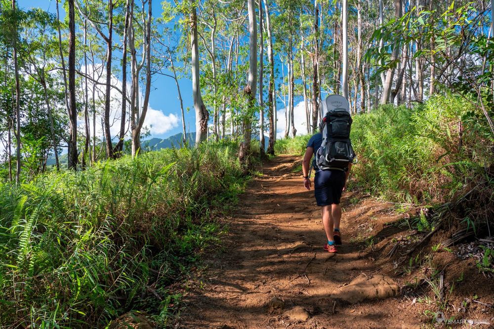

From now on the shade is becoming scarce, the path continues its gradual ascent along the top of the ridge. In the distance, we can already catch a glimpse of the lookout that will mark the end of the trail by following eyes the end of the ridge.
But before you get there, you will have to keep going up, and maybe stop from time to time to take a rest and enjoy the beautiful views at the same time.
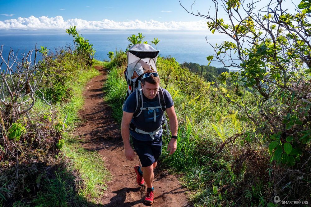
The climb continues by tackling what will seem to you to be finally the summit and which will finally only be an intermediate hill equipped with a series of steps.
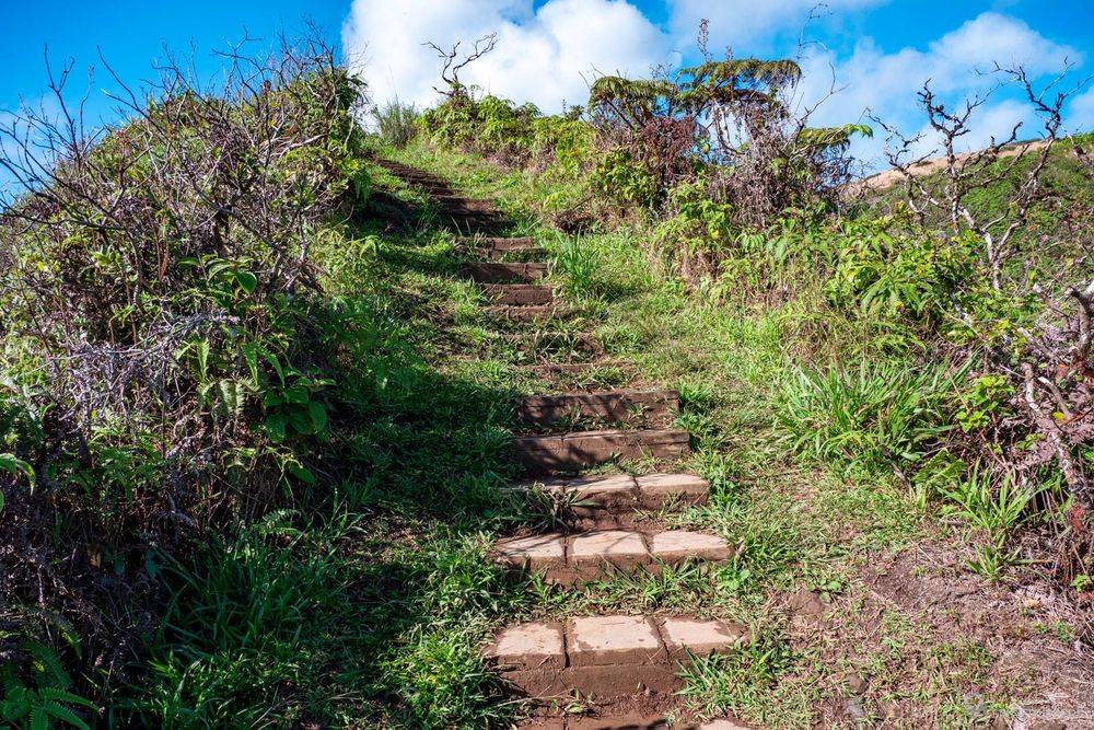
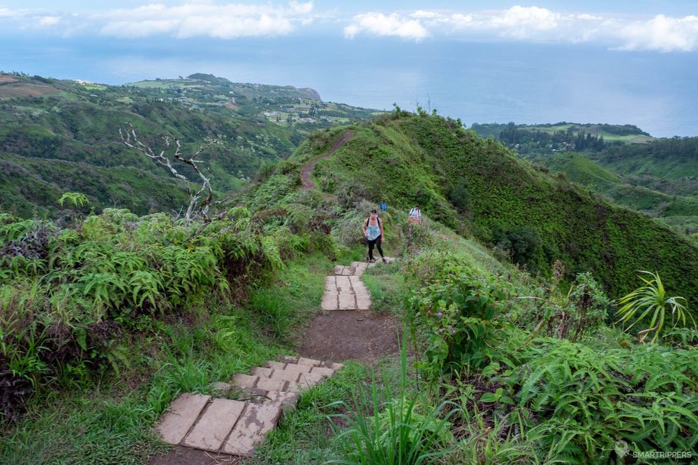
Some portions of the trail may be particularly slippery, both uphill and downhill, so be careful.
Once at the top of this intermediate hill, a small, almost flat area gives us some energy before attacking the final climb which will be done with small wide laces that will follow one another until finally reaching the ultimate goal of this hike.
Here we are finally at the end of the trail where we are welcomed by a.... picnic table! This one thrones proudly on the end esplanade.
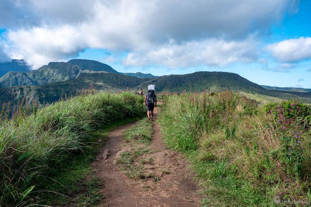
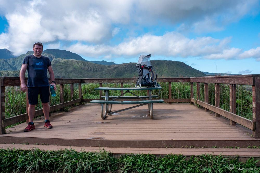
Now you just have to enjoy the pride of having reached the end of this trail and especially to contemplate the beautiful view at almost 360 degrees, hoping that the ridges in the center are clear of clouds.
We still regret that the view at the top is not a little more sensational because finally there is not really "cherry on the cake" once arrived at the end.
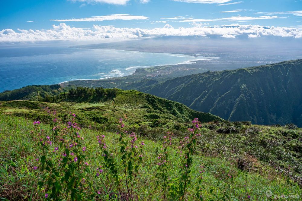
In the end we quietly made the ascent (because of the baby carrier) in 1h20, and 1 hour for the descent, or 2h20 for the round trip not counting the stop at the end of the trail.
Difficulty side we estimate this trail at 3.5 / 5. It is not difficult in itself and can be walked without problem with children. On the other hand it will require a minimum of physical condition not to suffer too much from the climb (we met a couple with a baby who did not feel to go further after the intermediate hill). But by sparing your strength, it is accessible to all.
2How to get to the Waihe'e Ridge Trail

The Waihe'e Ridge Trail departs from a parking lot at the end of Maluhia Road which joins with Highway 340.
For those who are not comfortable with curves and narrow roads, we recommend coming from the south from Kahului. This will allow easy access, as the road is wide and not very winding on the south side. If you have to come from the north, be aware that Highway 340 will be much more tortuous, with a few one-lane passages. But this is quite feasible with the right driving style.
If the parking lot is full, a parking lot has been set up at the bottom of the climb at the intersection with Highway 340, but the added distance combined with the "300m/1000ft of extra elevation makes the hike uninteresting unless you can hitchhike up there, or are really motivated to extend the climb that much.
3When to go on the Waihe'e Ridge Trail
We advise you to start this hike as early as possible, ideally as early as 7:00 a.m., the time the trail opens.
This will allow you on the one hand to go up in the fresh air, which is very pleasant, but also to avoid being in the fog, clouds and rain that usually arrive quite quickly at the end of the morning. Moreover, to enjoy the view on the ridges, you will have to bet on a sunny morning, otherwise you won't see much.
Chance or not, we had a nice clear view when we climbed up from 8:00 am, or 9:30 am at the summit (the locals we met at the summit told us that it was rarely clear at this time). At 11h00, the summit was in fog. The rain came quickly and even caught us on the last meters of the descent. We should not have started the descent later!
Finally, the sooner you arrive, the easier it will be to park, as the parking lot at the trailhead fills up quickly, as this hike is quite popular, especially during busy periods. If it is full you will either have to wait for a space to become available or use the parking lot much lower down.
Hopefully you too will be able to enjoy a nice day on this pleasant hike!
The path is very pleasant with beautiful views all along.
An ascent that can be challenging in hot weather.
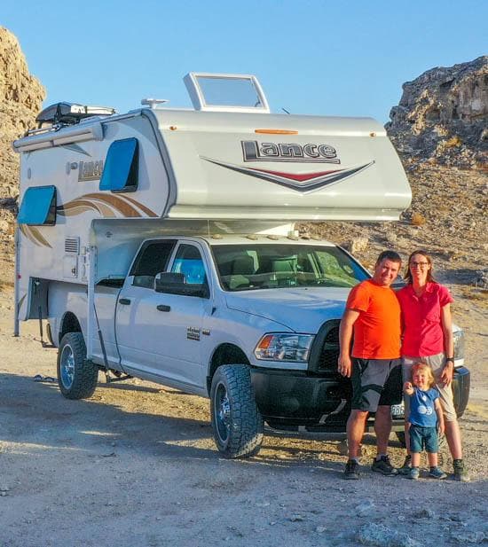
We are Sandrine and Flo, French thirty-somethings. In 2019 we quit everything to live our dream, become nomads and travel around the world. We left with our baby, Lena, who was only 5 months old at the time. After a first trip around the Pacific Ocean by plane and a long 3 months stay in Hawaii, we left to discover Iceland for 3 months on board our 4WD pickup truck and truck camper. Then we continued our adventure in North America.
Today, if we can continue this adventure, it is above all thanks to our blog, Smartrippers! We created it one day in 2016, with the desire to share our good travel tips, without thinking that it would lead us there! We have developed it a lot over the years and have become experts on our 3 favorite destinations: Hawaii, Iceland and the American West. We now guide you to these destinations to help you plan the trip of your dreams!
Follow our adventures!