- Iceland
- South Iceland
- The Maelifell volcano: lost in the middle of an ashes desert!

Perhaps one of the most surrealist scenery in Iceland! Like a leader, the majestic Maelifell volcano rises with its almost perfect green bullhead in the middle of an infinitely flat black ash desert. This scene doesn't seem real, straight from another planet, and yet it is in Iceland!
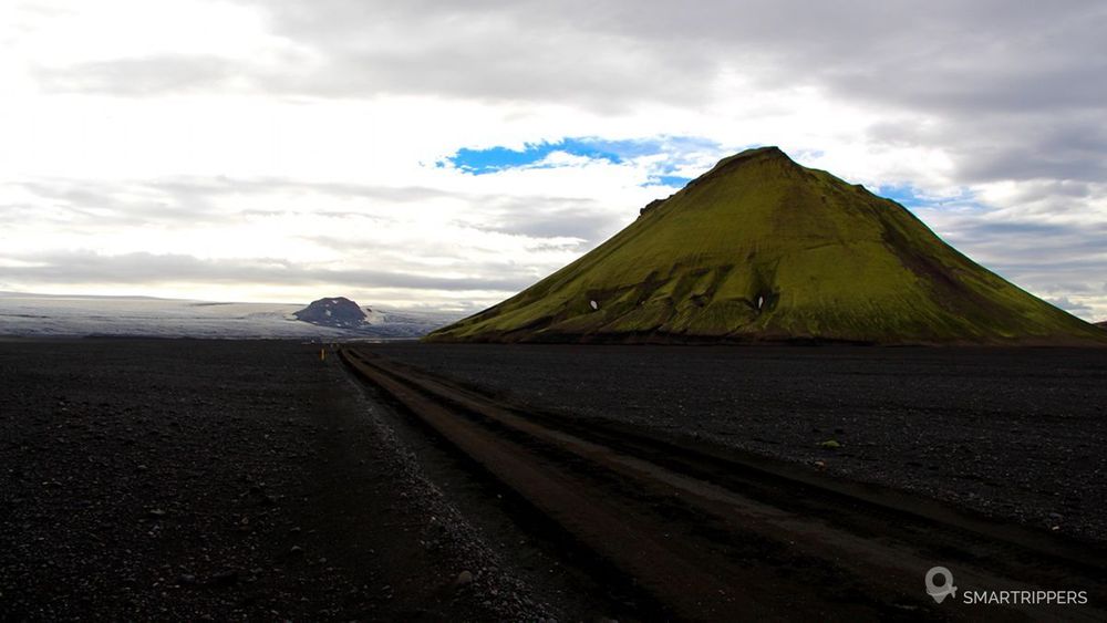
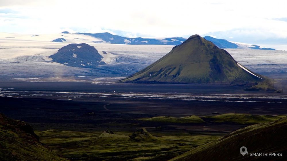
1The Maelifell: a volcano in a supernatural setting
Culminating at nearly 800 meters, this volcano formed during a sub-cooler eruption during the last glaciation, seems to have come out of nowhere. A few hundred metres to the south, the foothills of the huge Mýrdalsjökull glacier plunge into the black ashes of the Mælifellssandur. The melting of the surrounding glaciers gives rise to small waterways that crisscross this vast desert, and give a chaotic aspect to this supernatural landscape. You have to see it to believe it!
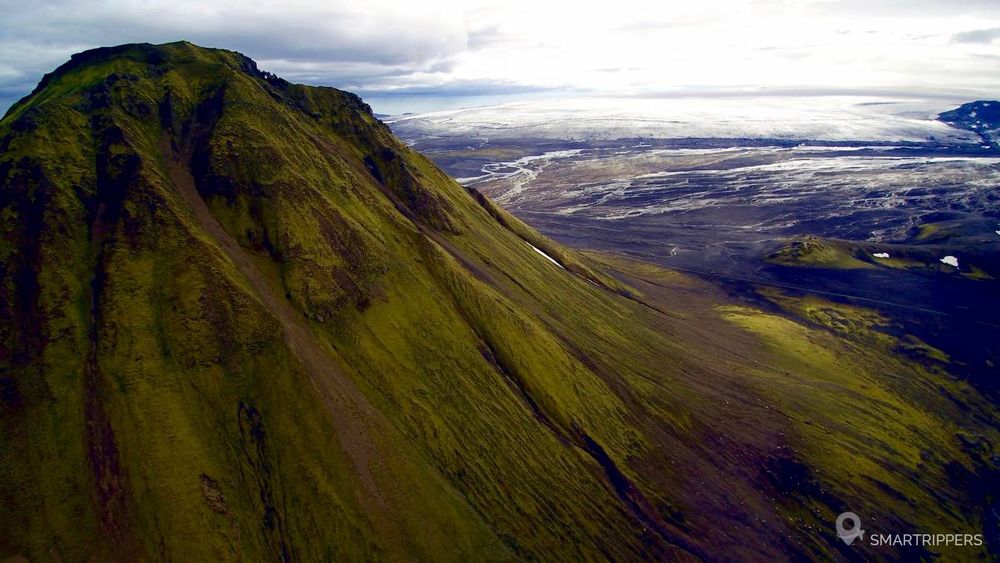
To reach this incredible place, you'll need a good 4x4, or take a jeep expedition.
If you have a good 4x4, several accesses are possible. We have covered all the trails around the Maelifell, and according to our experience, here are the different possibilities and their constraints.
2How to approach the Maelifell
Via the F232
The access that we believe to be the simplest and shortest. The F232 starts from road 1 between Vu00eck and Kirkjubæjarklaustur and crosses a few fords without big difficulty (20 to 40 cm), but a good ground clearance is necessary because the waterways have quickly made it possible to put big stones on the track naked, which can make some passages tricky (a little just sometimes with 25 cm of guard). In the final stretch just before reaching the F210, the black sands may be waterlogged if the weather is hot. We therefore advise you to take the track as soon as possible to avoid being surprised at the end of the day, because the plain quickly filled with water and turned into a lake (but very shallow). At the function with the F210, turn left.
Via F233 or F210 from the south
It can also be accessed from the east via F233 or F210. No particular difficulties, except the ford on the Holmsa which can sometimes be quite high (about 55 cm when we passed). This ford is located on the F210 approximately 1.5km west of the function between F233 and F210.
Finally 2 other routes are possible from the west, but reserved for big 4x4s because fords can be higher.
Via F210 from the west
It is the most beautiful (absolutely grandiose) but also the longest and most complex access. If you can, do the F210 track as a whole. We recommend starting from the west. This track is absolutely fantastic. We pass through completely crazy scenery as soon as we approach the Fjallabak reserve. On the other hand, a good number of fords (almost twenty) cross the track on the portion between Route 264 and F261. Most are simple, but 2 fords can be delicate. The Ljósá river spreads out, forming a small delta with several arms to cross and potentially quite a lot of water (at least 65 cm when we passed with a lot of current). A little further on, the ford on the Brat?álskvísl just before the junction with the F261, can be quite turbulent (we had to go backwards because we were stuck by a large stone in the depths of the ford (also 65 cm). Note that it seemed impassable when we had passed 1 week earlier (muddy water breaking!)
Via F261
Finally, the F261 allows you to join the F210. It passes not far from the Markarfljot gorges, but the access remains less spectacular than via the F210. The only difficulty was the ford on the Bla?fjallakvi?sl, which turned out to be complicated the day we passed by, with a lot of current, muddy water and about 85 cm of water (my pants still remember it). It is the highest and most frightening ford we have ever had to cross.
It should be noted that the climatic conditions have a huge influence on the water level of the fords. The water heights we indicate can therefore be totally different (much lower or higher). Never ford a ford if you are not sure you can cross it. If in doubt, wait for another vehicle, or try to cross the border on foot. If the crossing seems too risky, go back again.
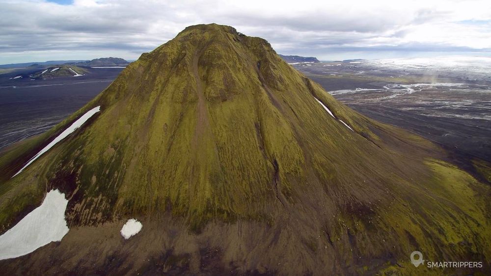
The absolutely magnificent landscapes!
The imposing Myrdalsjökull in the background.
The F210 track itself, beautifully beautiful!
We are Sandrine and Flo, French thirty-somethings. In 2019 we quit everything to live our dream, become nomads and travel around the world. We left with our baby, Lena, who was only 5 months old at the time. After a first trip around the Pacific Ocean by plane and a long 3 months stay in Hawaii, we left to discover Iceland for 3 months on board our 4WD pickup truck and truck camper. Then we continued our adventure in North America.
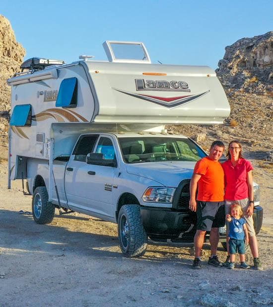
Today, if we can continue this adventure, it is above all thanks to our blog, Smartrippers! We created it one day in 2016, with the desire to share our good travel tips, without thinking that it would lead us there! We have developed it a lot over the years and have become experts on our 3 favorite destinations: Hawaii, Iceland and the American West. We now guide you to these destinations to help you plan the trip of your dreams!
Follow our adventures!